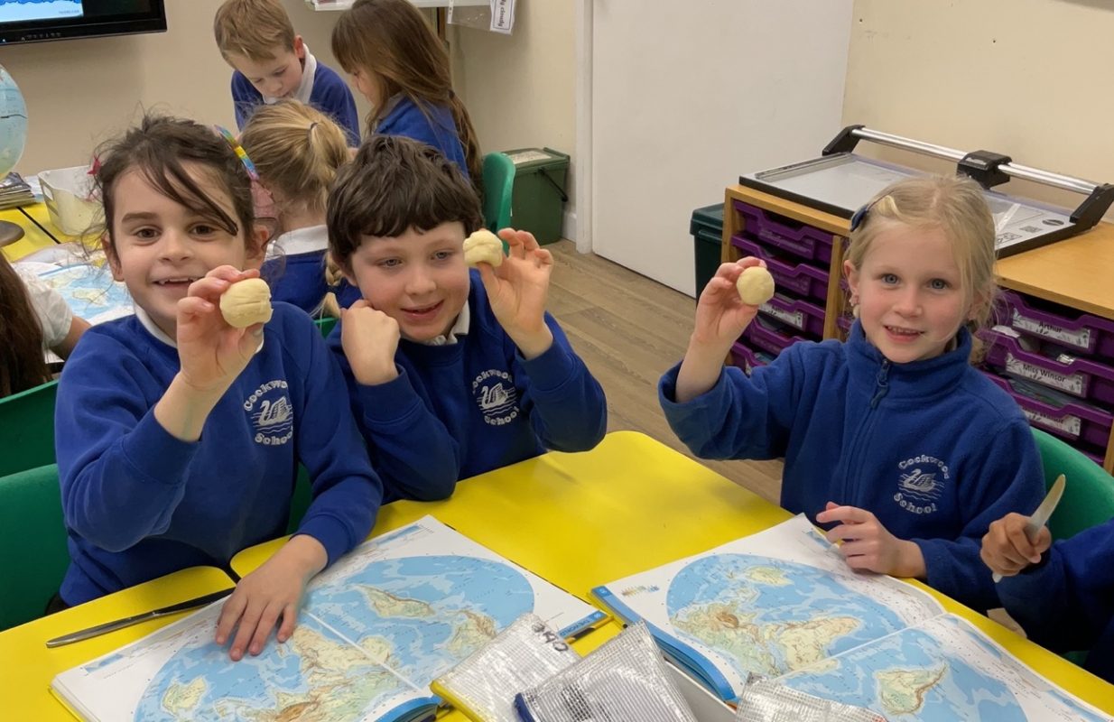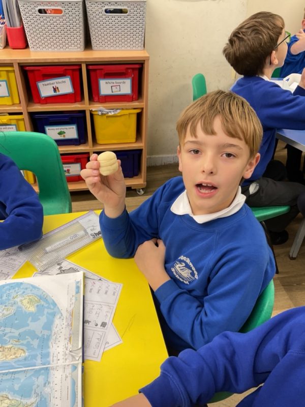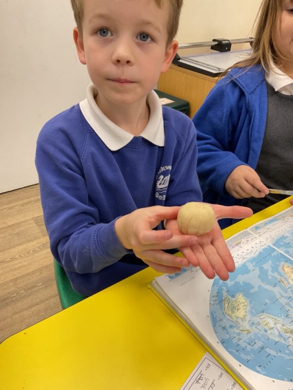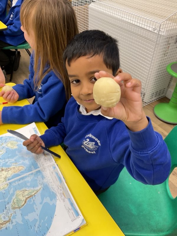
We are delighted to share an exciting learning journey from Class 2’s recent geography exploration. Our pupils have been diving deep into the fascinating world of map navigation, discovering the invisible lines that help us understand our planet’s geography.
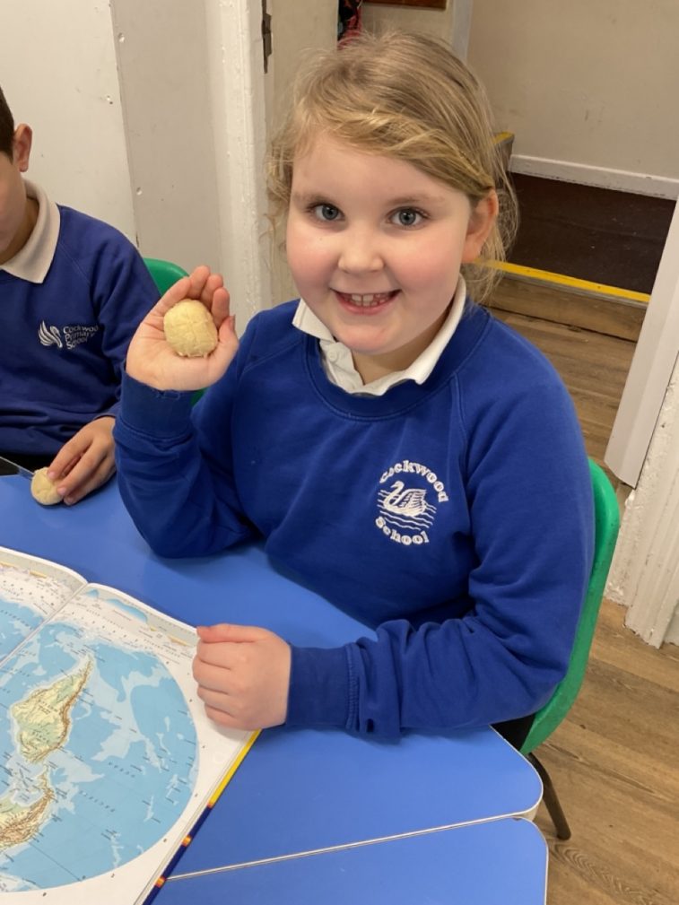
Using a wonderfully creative approach, the class explored the equator, longitude, and latitude. They transformed a piece of playdough into a model Earth, carefully adding grid lines to demonstrate how these imaginary lines help us locate places around the world. By physically mapping out latitude lines, they learned how we can determine how far north or south a location might be.
What truly impressed us was the pupils’ remarkable oracy skills. They articulated their understanding with clarity and enthusiasm, bringing their geographical learning to vibrant life. Well done Class 2.